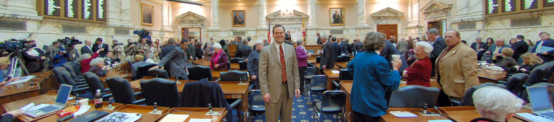
 Harwood elected official, Harwood Delegate Tony McConkey has represented adjacent communities in the Maryland House of Delegates since 2003. With the 2012 legislative redistricting, Tony now represents part of the Harwood Community. He is the ranking member of the House Appropriations Committee serving on the Public Safety And Administration Subcommittee, the Personnel Subcommittee and the Joint Committee on Pensions, and is a former Vice Chairman of the Anne Arundel Delegation.
Harwood Churches
Hallows Church
Harwood Post Office
20776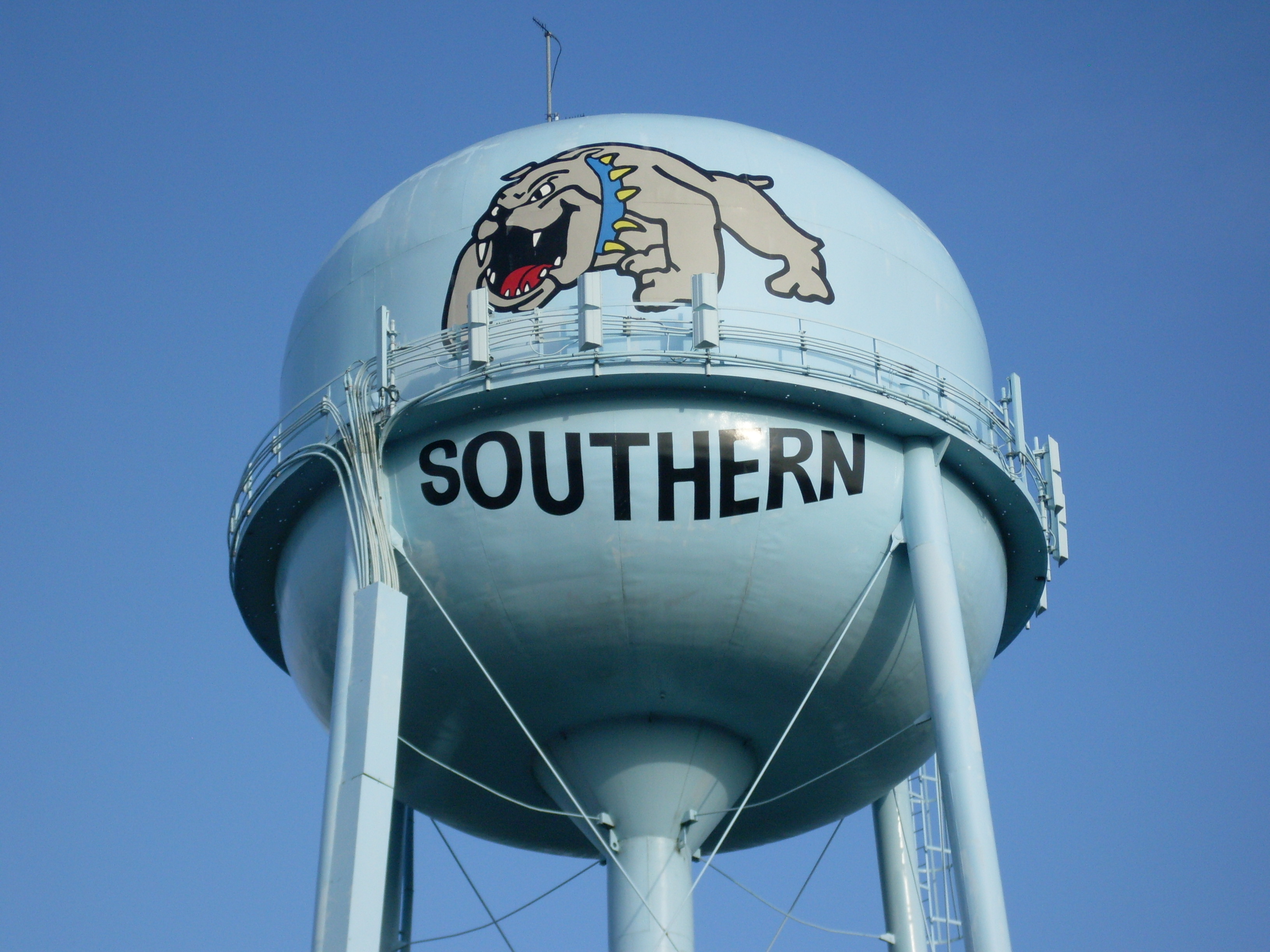 ;
;
Harwood Schools
Southern High School
Harwood History
by Emily Peake, Harwood Civic Association
Today Harwood is a large postal service area. It’s zip code is 20776.
Harwood extends from the Patuxent River on the west to West River and the Chesapeake Bay on the east. From Queen Anne Bridge in the far northwest it follows Stockett’s Run to Birdsville Road. There it loops around to All Hallow’s Church, where it crosses over to South River Clubhouse Road then looping back at Muddy Creek Road and over again to Solomon’s Island Rd. near “Birdsville Forest.”
At Mill Swamp Road the line returns to Muddy Creed Road and crosses over into the Smithsonian property, where it zig-zags according to SERC’s property line taking in all of Cumberstone to West River. The postal zone returns in a westerly direction at Cox and Tenthouse Creeks and then follows Rt. 255 or Owensville Road a short distance, it then turns to the north and goes north around Owensville, crossing Owensville-Sudley Road about ¼ mile North of Rt 255 then re-crosses Rt 255 near Our Lady of Sorrows R.C. Church. Here the zone follows Tracy’s Creek weaving in behind Sudley’s Choice, Huckleberry Woods and Lebanon. The line then swings back toward the west once again crosses Rt. 2 and goes through farmland touching down near the end of Polling House Road and Bayard Road. It then continues on to the Patuxent River.
Just about in the middle of this sprawling area is the Harwood Post Office, at the corner of Solomon’s Island Road and Harwood Road. If there is a village of Harwood it is here, as the post office is located on the corner. Within a quarter of a mile of this intersection is Southern High School, an automobile repair shop, and on the opposite side of the road is Dick and Jane’s produce stand. This area is the geographic center of Harwood.
Opposite the post office is a historical marker which locates the old Rawlings Tavern, which burned down 30 or 40 years ago. Jonathan Rawlings received a license to have an ordinary here in 1771. His descendants continued to live in the area for many years. Some of them are buried in the churchyard at All Hallow’s.
Among the early post offices that have been swallowed up by the Harwood Post Office are:
•Lebanon, in operation from 1823-24; John Thomas was the postmaster.
•Obligation, 1879-1892; Benjamin King was the postmaster.
•Birdsville, whose postmaster was Hezekiah Best.
•Cumberstone, from 1891 to 1957; first postmaster was Rebecca Hunt.
Hardesty and South River are the two names given to the post office, which was located on South River Clubhouse Road at its intersection with Hardesty Road.
The first land grants in the West River Hundred were made in 1651. Those first settlers here were largely of the Quaker faith, most of whom arrived here between 1651 and 1663. Harwood is named for the Harwood family. One Robert Harwood came here in 1651. Richard Harwood settled here before 1698.
The Ridge
Probably the most important geographic feature of the area called Harwood is the “Ridge” which is the high land or ridge than runs through the middle of Harwood. All of the streams on the west side of this ridge flow into the Patuxent River. The streams on the east side of this ridge flow into the West River and the Chesapeake Bay.
Long before the English settlers arrived in America, the Indians used this high ridge as a road or path through the woods. The Indians were well known for using to their advantage the crests of such ridges for their paths, as the ridge is the shortest distance from one point to another. It also largely eliminated having to walk down into the valley and then perhaps up to the top of a steep hill on the other side.
When the colonists arrived they soon learned to use the old Indian paths. The old Ridge Path as it was once known is used today with some changes – we call it Solomons Island Road or Maryland Route 2.
Along the Ridge – Places of note found here:
All Hallow’s Church lies about 12 miles south of Annapolis. It is located on the west side of the road. All Hallows may have been active as early as 1669. An earlier church possible dating around 1690 stood on this site. All Hallows was established as one of the first churches in Maryland by the act of the Establishment of the Church of England in 1692.
The brick church was built about 1730.
The old church burned in the 1940’s and the present church is a restoration of the original building. Pay a visit to its churchyard sometime and view the gravestones of some of Anne Arundel County’s earliest citizens.
Old South River Club, opposite All Hallows Church is old South River Clubhouse Road. The old South River Club has a continuous history since its founding in 1722. The club received this property in 1730. Members meet in the modest 1723 building located on the high ground between the Rhode and West Rivers.
Membership in the early days was among the planters whose broad acres surrounded this meeting place. In the beginning meetings were held fortnightly and membership was limited to 25. Today’s membership consists of descendants of the original members although membership is not passed down from father to son. Meetings are held four times each year. Members take turns providing the refreshments.
Returning to Route 2, south of All Hallows is Old Birdsville Road adjoining this road is:
The Cedars is a Stockett house. The original name for this property was “The Lindens.” The name was changed to “The Cedars” some years ago by a former owner.
Larkins Hundred is a property owned by John Larkin who kept an ordinary. The house served as the first capital of the Province of Maryland in Anne Arundel County. The General Assembly met there on October 2, 1683, with Charles, the third Lord Baltimore in attendance. At that time there were several out buildings, one of which served as a courthouse.
On August 16, 1692, Governor Sir Lionel Copley and his Council met at the house of John Larkin. This house was also the meeting place of the Council of Maryland, with Colonel Nicolas Greenbury serving as President on August 16, 1694.
Larkins Hills is a house was probably built by Captain Joseph Cowman, who was a Mariner and a wealthy Quaker. Cowman married Sarah Galloway Hill, a widow and the daughter of Samuel Galloway.
The name Larkins Hills is a 20th century one. Larkins Hills is made up of properties called the “Triangle” and “Hazelnut Ridge.” The house is a two story brick Georgian. In 1798 the Federal Tax assessment ranked it as the third largest dwelling in the southern party of the county (the largest was Tulip Hill). In the 19th century, the house was known as the “Castle.”
<strong?Obligation was built in two stages beginning in 1743 by Thomas Stockett III, and enlarged to its present size in 1827 by his grandson, Joseph Noble Stockett, Obligation is a one and a half story brick house.
Thomas Stockett I came to Maryland with two of his brothers in 1658. In 1669 he patented 664 acres, which he called Obligation. He became active in politics and served as high sheriff of Anne Arundel County. When Thomas died in 1671, he left Obligation to his son, Thomas II, who was a child of four. Thomas II was also active in county affairs and expanded his holdings to include 2000 acres.
Thomas III was the builder of Obligation. Family legend has it that Thomas III visited England as a young man, where he was robbed of all of this possessions and money. He was befriended by a merchant who agreed to apprentice him in the mercantile trade. When Thomas returned to Anne Arundel County he became a successful merchant. His son, Dr. Stockett, became a prominent citizen and served as a surgeon to the Maryland Line during the Revolution.
Today “Obligation” is the home of Dr. Emily Wilson, who has become a legend in her own time.
Etowah was part of a tract called Taylor’s Choice whose early settlers included Col. Thomas Taillor, who settled on a tract called Taylor’s Choice. Taylor declared himself to be a member of the Church of England. He was one of the deputy governors of the province. In 1691 he testified on behalf of Lord Baltimore in England.
Etowah is adjacent to Obligation. It was built in 1824 on land awarded to John Stockett in a petition suit in that year. It is said that John meant to double the size of his house but was so eager to move in that he did not wait for the plaster to dry, contracted pneumonia and died.
Anne Lee Marshall and her husband lived for many years at Etowah, while Marshall was head master at the West River Institute in Owensville. Her brother, Robert E. Lee while a cadet at West Point, spent his summer leave with her at Etowah.
Essex is located between Muddy Creek and Solomons Island Road, Essex was the land of Ferdinando Battee. Some of the Battee family are buried in the little graveyard next to the parking lot of Southern High School.
Mary’s Mount was part of a grant received by Thomas Miles in 1662 consisting of 600 acres which extended to the Rhode River. In 1771, General Richard Harwood bought the property and built the house. In 1840 it was sold to the Bird family who called it “Mary’s Mount.”
Originally a one and a half story gambrill-roofed house, it was enlarged to its present two-story height with a gambrill roof by Jacob Wheeler Bird, who acquired the property in the 19th century.
Cherry Hill just a mile North of Owensville was the birth place of Major Osborn Sprigg Harwood. He was best known for his knowledge of law and the ways of legislature.
Oakwood was later built around 1850 by his son, Sprigg Harwood. Since he spent most of his time in Annapolis, it is assumed that he never lived there. Sprigg Harwood was a lawyer, State Senator and State Treasurer and was a leader in advocating that Maryland join the Confederacy. It is a 2 1⁄2-story, frame vernacular farmhouse with Greek Revival influenced details. It is a highly intact, mid-19th-century tobacco plantation house.
Cuberstone is 600 acres originally owned by William Cumber. He was a quaker who lived on Sudley Road, but owned land on West River, which today bears the name of Cumberstone.
Today Parkhurst and Cedar Park are notable houses in Cumberstone. Cedar Park was patented to Richard Ewen as Ewen-upon-Ewenton in 1666. The brick house was built around an earlier frame house by Richard Galloway.
Tulip Hill is a five part Georgian style house, which overlooks West River. Galloway started building almost immediately, and the main block was completed in 1762. The hypen and wings were built by Samuel’s son, John Galloway in about 1790.
Samuel Galloway was the great-grandson of the Quaker Richard Galloway, who came from England in 1649 and settled near West River. Samuel married Anne Chew and was a successful merchant and planter. One of his earliest business ventures was the importation and sale of indentured servants, by 1762 this included slaves.
Owning about 30 ships and a shipyard on West River he also dealt in exporting tobacco and wheat. He imported staples: clothing, shoes and wine from Europe – from Barbados he imported molasses, sugar, rum and coffee.
John Galloway, son of Samuel and Anne Chew Galloway, married his double first cousin, Sarah Chew of Philadelphia, they moved to Tulip Hill in 1790 after Samuel’s death in 1789.
In 1810, Mary Galloway inherited Tulip Hill from her father John subject to a life time interest to her mother. Mary married Virgil Maxcy, who served as a solicitor for the Treasury Department.
The property eventually passed to the Maxcy’s two daughters, Mary and Sarah. Sarah and her husband Col. George W. Hughes lived at Tulip Hill, their daughter Anne S. Hughes was the last owner linked by direct descent to Tulip Hill.
In 1877, tulip Hill was sold to Henry M. Murray, whose wife was related to the Galloway family.
In 1918 it was sold to Mr. and Mrs. Henry H. Flather and in 1946 it was sold to Mr. and Mrs. Lewis R. Andrews. Several years ago it became the property of the Morgan Welch family, who sold it to William Chaney.
The Tea House is located at the intersection of Owensville Road and Solomons Island Road. This building was erected during World War I by Ann Cheston. It was used as a store where tea and snacks were sold.
Customers were nearby residents, travelers and the soldiers who were training in the field behind the store.
In 1929 Dr. Emily H. Wilson acquired the Tea House as an office for her medical practice. In 1939 she bought the Tea House and eleven acres. As mentioned earlier, Dr. Wilson lives at Obligation. She retired from her medical practice in 1982. The Tea House then became the office of Dr. Charles Wirth, who had his office there until his death. After his death the Tea House became an antiques gallery.
Lebanon is located just South of Owensville Road and the Tea House.
In about 1654, John Thomas, who was among the first settlers in the West River Hundred, founded “Lebanon.”
Philip Thomas, eldest son of Samuel Thomas lived at Lebanon, the seat of the Thomas family. Philip and his wife, Anne Chew, were known as ministers in the Society of Friends.
Philip Thomas of Lebanon served long and with distinction in the Provincial Government of Maryland. In 1732, he was appointed by the West River Meeting to prepare and address of welcome to Charles, the 5th Lord Baltimore. At that time, Philip Thomas was a member of the Governor’s Council.
Weston is located on Harwood Road. The farm called Weston is actually three farms that are made of nine parcels of land.
The first house at Weston burned on the day it was finished, then it was rebuilt. The “Bonaparte House” at Weston was built about 1850. Originally called “Elba” for the Isle of Elba on which Napoleon Bonaparte was exiled. Elba was owned by William Bonaparte, who was a nephew of Napoleon. (Charles Bonaparte was Secretary of the Navy.)
There is a ninety-foot deep hand dug well there that served for many years as a “refrigerator” some years ago, before electricity was brought to the farm. butter, eggs, and other foods were lowered into the well, where they would not spoil in the summer heat.
Maryland Manor is a “mobile home” park. Founded in 1970 there are 27 homes there. There is a projected plan to expand the “park” to 300 homes sometime in the future.
Located along Patuxent River Road, it is part of the “Sands” area of the county. The Sands have been mined for many years providing sand and gravel for many projects. Much of the previously mined land is now part of the Patuxent River Park.